Forbes Avenue, a major thoroughfare in Pittsburgh, Pennsylvania, holds rich historical significance. Named after Brigadier General John Forbes, this street is a testament to Pittsburgh’s evolution, from a bustling military route during the French and Indian War to a vibrant modern cityscape. This article explores the history and significance of Forbes Avenue, weaving together tales from different eras, shedding light on its contribution to shaping Pittsburgh’s identity.
John Forbes: The Man Behind the Name
John Forbes was a British army officer known for his leadership during the French and Indian War. He spearheaded the British expedition to capture the French Fort Duquesne, laying the foundation for what would eventually become the city of Pittsburgh. In honor of his pivotal role in shaping the area’s history, the longest street in Pittsburgh is named after him.
The Creation of Forbes Avenue
The establishment of Forbes Avenue was a strategic move by the British army in 1758. The road was designed to enable swift, safe passage through the challenging terrain of the Appalachian wilderness during the French and Indian War. The idea was to create a direct route to the French Fort Duquesne, which is now modern-day Pittsburgh.
The Significance of Forbes Avenue
The Avenue was more than just a street. It was a strategic military route, a lifeline connecting the British encampments. The road stretched from Carlisle, PA to Fort Duquesne, with Forts Loudoun, Lyttleton, Bedford, and Ligonier punctuating its length. Each fort was a strategically positioned stronghold, ensuring the British soldiers’ safe and quick transit during the war.
Without Forbes Avenue, the British might not have gained control over Fort Duquesne or expanded westwards. Consequently, the thirteen colonies might have remained under British control, potentially altering the course of American history.
Forbes Avenue and Breezewood
The quaint town of Breezewood, Pennsylvania, located just west of the Juniata River Crossings, has its own tale linked to the Avenue. In fact, General Forbes ordered his road to cross the Juniata River, just west of the town, marking the role Breezewood played in the history of Forbes Avenue.
Early Days of Forbes Avenue
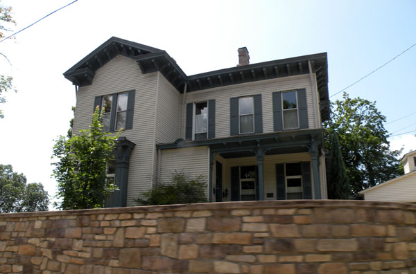
The street has evolved significantly since its creation. While initially serving as a military route, it gradually transformed into a commercial and residential hub. It was initially referred to as Forbes Street, and it doesn’t appear in maps until the 1830s. However, by the 1850s, it was a recognized thoroughfare, with a range of buildings and businesses lining its length.
Forbes Avenue and Diamond Street
The portion of the modern Avenue downtown, from Liberty Avenue to Grant Street, was initially called Diamond Alley in George Woods’ original 1784 plan of Pittsburgh. This later evolved into Diamond Street. A city ordinance was passed in 1816 to extend Diamond Street east to Try Street, highlighting the ever-evolving landscape of Pittsburgh.
Suke’s Run and Hardscrabble
Between Try and Boyd Streets, a stream called Suke’s Run used to exist. Named after a woman named Susan, nicknamed Suke, who supposedly hanged herself in a thicket of plum trees there, this area was a key feature of early Forbes Avenue. Along this run, which separated Forbes Street from downtown, was a shanty town known as Hardscrabble, further adding to the rich tapestry of Forbes Avenue’s history.
Extension of the Avenue
The extension of Forbes Avenue to downtown Pittsburgh was proposed in 1873. However, it wasn’t until 1889 and 1890 that ordinances were passed to open Forbes Street from Boyd Street to Diamond Street, creating the connection to downtown that exists today.
From Diamond Street to Forbes Avenue
In 1952, the City Planning Commission proposed renaming Diamond Street to Forbes Street. However, it wasn’t until 1957, when Mayor David L. Lawrence brought forth an ordinance to rename the street, that Diamond Street became Forbes Avenue. The change sparked a vigorous debate, but by the end of 1957, new street signs were posted downtown, and the name Forbes Avenue was officially adopted.
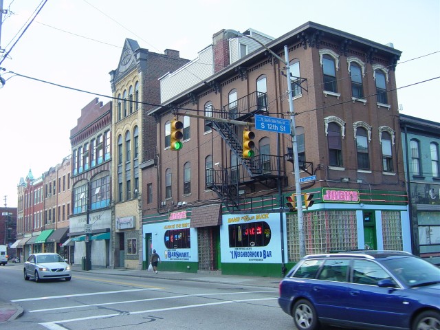
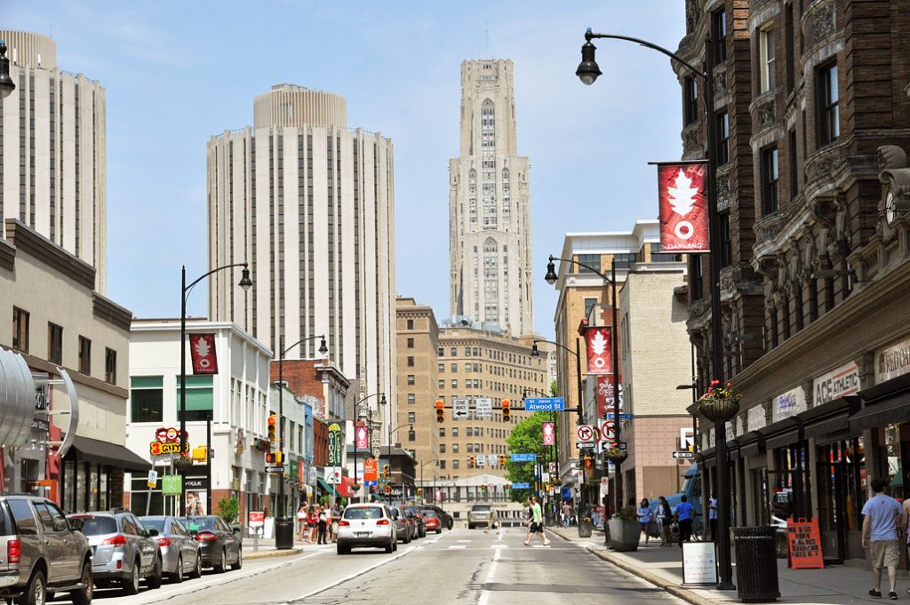
Forbes Avenue Today
Today, the Avenue extends from Stanwix Street in the downtown part of the city, eastward past PPG Place, through Market Square and as well as frontage by the Allegheny County Courthouse and City County Building. It continues through various neighborhoods including North Oakland, Squirrel Hill North, and South Oakland, before it reaches its eastern terminus at the site of the January 2022 Fern Hollow Bridge collapse.
Forbes Avenue, with its rich history and significant role in shaping Pittsburgh’s identity, stands as a testament to the city’s resilience and evolution. From its origins as a strategic military route to its current status as a bustling urban artery, the street continues to play a crucial role in Pittsburgh’s ongoing story. Whether you’re strolling down the street, admiring the historical architecture, or driving through the bustling neighborhoods, you’re walking along a path that has shaped the history of Pittsburgh and, indeed, the United States itself.