
How to Ride the Pittsburgh Inclines
Iconic. Pittsburgh inclines have always been a part of the lore and mystic that is Pittsburgh’s legacy. The picture above is just one of possibly millions of pictures of the Duquesne Incline with it’s historic red car we see in everything related to this city. Almost every time we travel outside of Pittsburgh, we hear “Oh yeah… I’ve seen pictures of those inclines” or “we rode the inclines in Pittsburgh when we visited…”.
Take a Ride on the Duquesne Incline
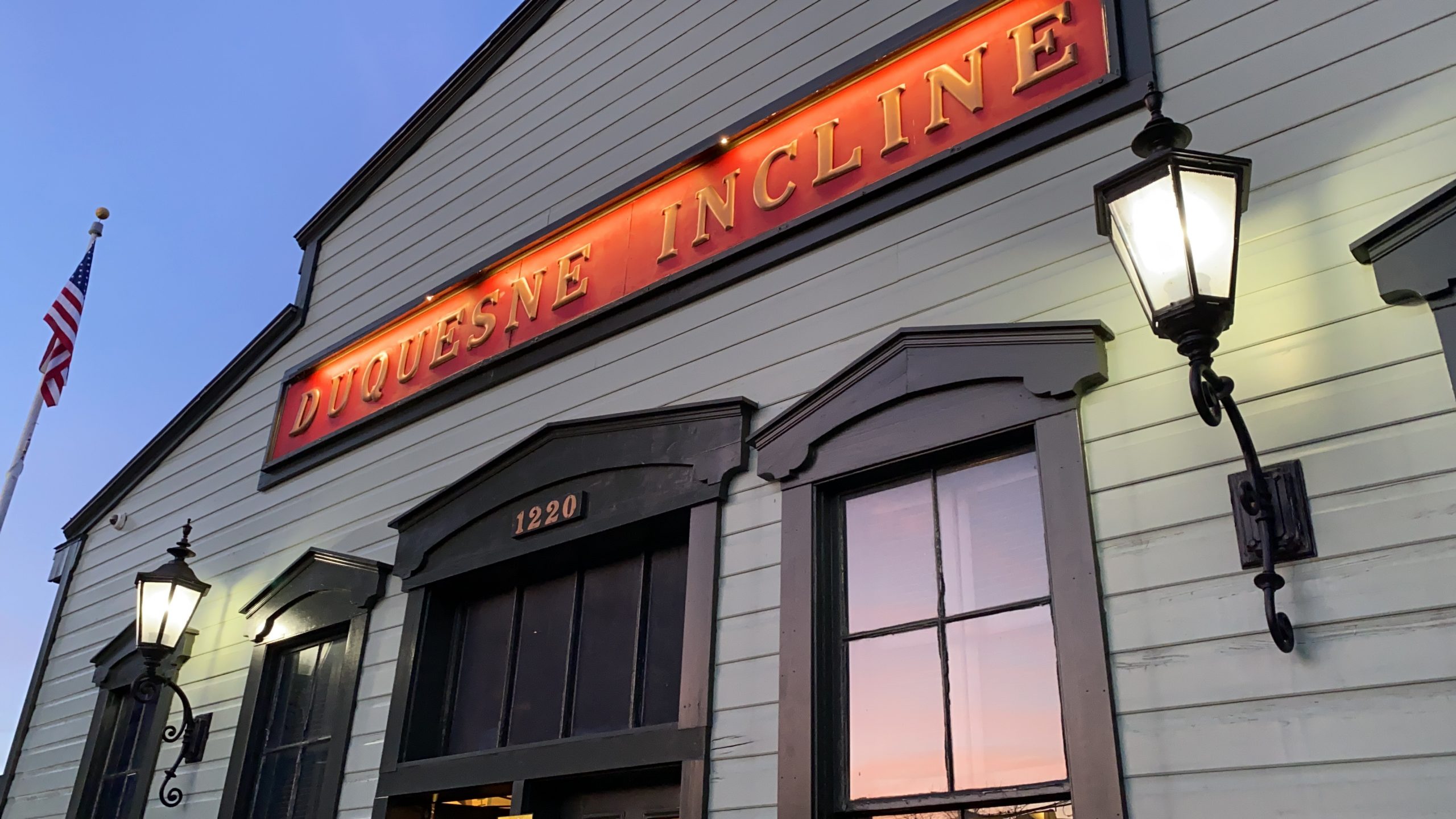
The Duquesne Incline’s lower station is located at 1197 West Carson Street, Pittsburgh, PA 15219, and there is ample parking accross the street. The upper station is at 1220 Grandview Avenue, Pittsburgh, PA 15211. There is limited/street parking available. To get the most of your experience, I’d recommend parking at the lower station and riding the incline up to the top of Mt. Washington to the Duquesne Incline’s observation deck, and then back down.
Duquesne Incline Hours
Operational year-round, the Duquesne Incline runs about every 5 minutes.
Monday-Saturday: 5:30 a.m. – 12:30 a.m.
Sundays and Holidays: 7 a.m. – 12:30 a.m.
Duquesne Incline Fares
Fares for the Duquesne Incline are cash-only or through Port Authority bus passes and tickets. Fares include the following:
Adults: (ages 12-64): $5 roundtrip
Children: (ages 6-11): $2.50 roundtrip
Children 5 and under: Free
Take a Ride on the Monongahela Incline
The Mon Incline’s lower station is located at 1870 West Carson Street, Pittsburgh, PA 15219. The closest parking is located across the street in Station Square. The upper station is on the corner of Grandview Avenue and Wyoming Street on Mt. Washington. There is limited street parking, and a parking lot on Shiloh Street that is free on Sundays.
Monongahela Incline Hours
Monday-Saturday: 5:30 AM – 12:45 AM
Sundays and Holidays: 8:45 AM – Midnight
Monongahela Incline Fares
Cash, ConnectCard, passes, transfers and tickets are accepted as payment on the Monongahela Incline.
Adults: $2.50 cash fare one-way, $3.50 round-trip (purchase a continuation transfer, must be used within 3 hours).
Children ages 6-11: $1.25 cash fare one-way, $2.50 round-trip
Children ages 5 and younger may ride for free when accompanied by an adult
Persons with disabilities $1.25 fare one way, using reduced-fare ConnectCard or presenting Reduced-Fare Transit Card or Medicare card
Senior citizens (65+) may ride for free with proper ID (Medicare card or Senior Citizen ID card)
Which Incline in Pittsburgh is better to ride?
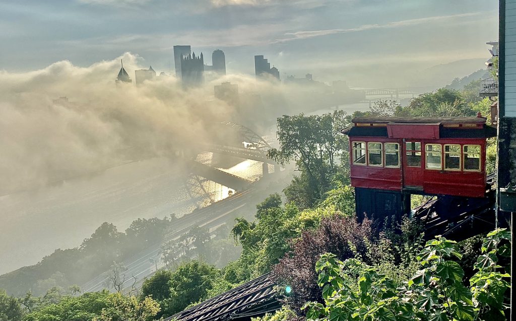
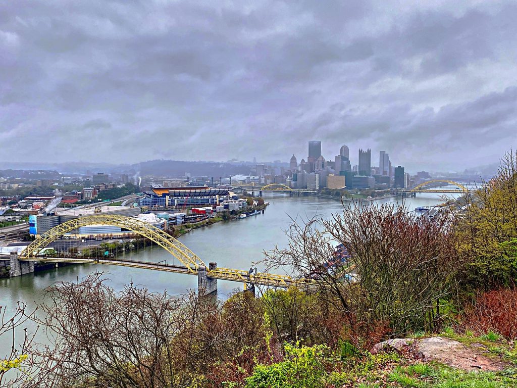
Both of the current operating inclines of Pittsburgh are unique to ride. The Duquesne Incline offers incredible views of Pittsburgh from the Ohio River and Point State Park. The Monongahela Incline offers a fantastic view of Pittsburgh from across the Monongahela River, giving you a view of downtown Pittsburgh’s skyline from the south. Both of these inclines are definitely worth the ride! A great way to take them both in is to park at the base of either incline (Station Square parking for the Monongahela Incline and/or parking below the Duquesne Incline’s lower station across West Carson Street). Ride the incline up to the top of Mt. Washington, take a leisurely stroll up or down Grandview Avenue, and take the other incline down. Then repeat!
When wondering which incline in Pittsburgh is better to ride, there are a few factors to consider. There are two main inclines in Pittsburgh, the Monongahela Incline and the Duquesne Incline. Both offer incredible views of the city, so the decision really comes down to personal preference.
The Monongahela Incline was the first of the two inclines to be built and is the oldest surviving incline in the United States. It is located on the South Side of Pittsburgh and offers a more peaceful experience away from the hustle and bustle of downtown. The Monongahela Incline is also the shorter of the two and takes about five minutes to make the climb.
The Duquesne Incline offers incredible views of the city, as well as the Ohio River and Point State Park. The Duquesne Incline is the longer of the two and can take up to 10 minutes to make the climb. There is also a museum at the top of the incline which provides interesting facts about the history of the incline and the city of Pittsburgh.
When deciding which incline in Pittsburgh is better to ride, it really comes down to personal preference. Both offer stunning views of the city and are a great way to get a unique perspective of Pittsburgh. The Monongahela Incline offers a more peaceful and shorter ride, while the Duquesne Incline offers a longer and more historical experience. No matter which incline you choose, you are sure to have an unforgettable experience.
Things to Do Near the Duquesne Incline in Pittsburgh
The lower station of the Duquesne Incline is located on West Carson Street, just a few blocks down the road from Station Square, and across the Ohio and Monongahela rivers from Point State Park. Once you ride the incline to the top of Mount Washington, you exit onto Grandview Avenue. You can walk up the hill towards the Point of View Statue for some stunning views of Pittsburgh, as well as take a walk on the trail down the mountain. There are also quite a few great restaurants with a view on Mount Washington near the Duquesne Incline for your dining pleasure.
Things to Do Near the Monongahela Incline of Pittsburgh
The lower station of the Monongahela Incline is located basically at the corner of East Carson Street and Smithfield Street, convenient to Station Square and the Smithfield Street Bridge. Riding to the top of this incline in Pittsburgh places you on the opposite end of Grandview Avenue from the Duquesne Incline. Walking up the hill from the upper station brings you to Shiloh Street on Mount Washington, where you can find many restaurants, coffee shops and more. A little further up Grandview and you can visit the Grandview Overlook (which one of many overlooks on Mt. Washington) and also see St. Mary of the Mount, the famous church on Mt. Washington.
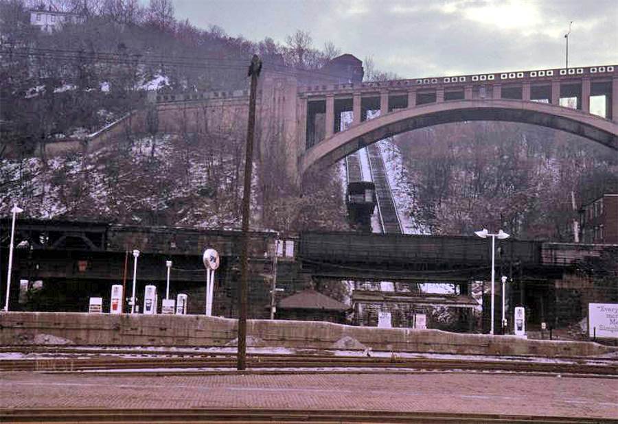
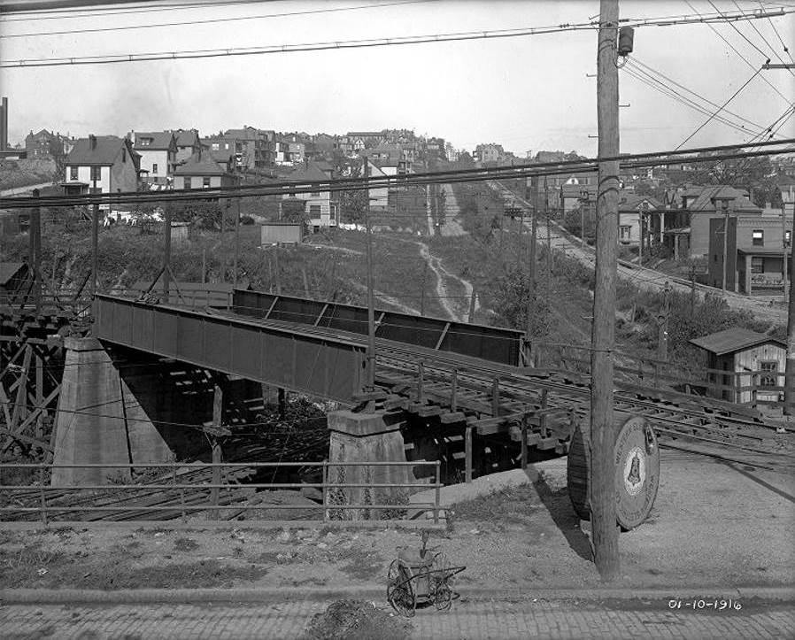
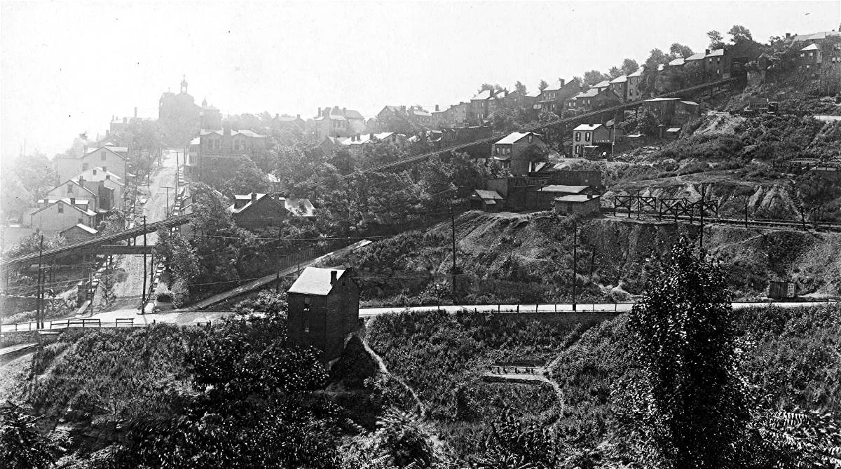
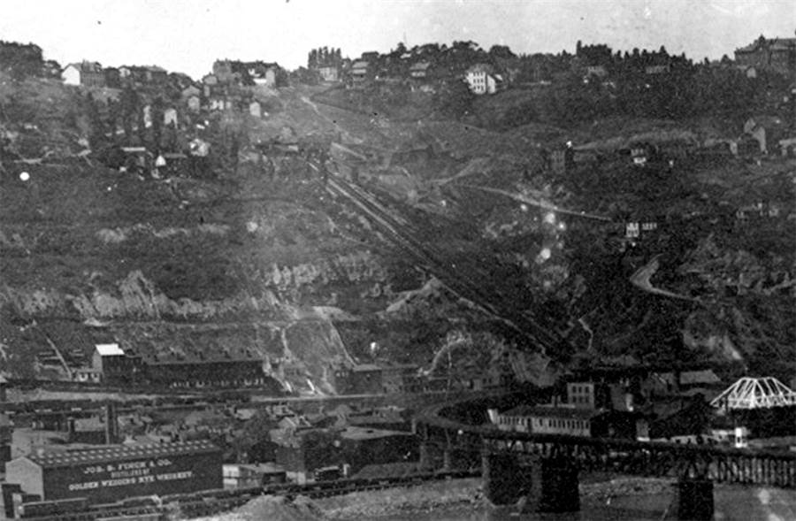
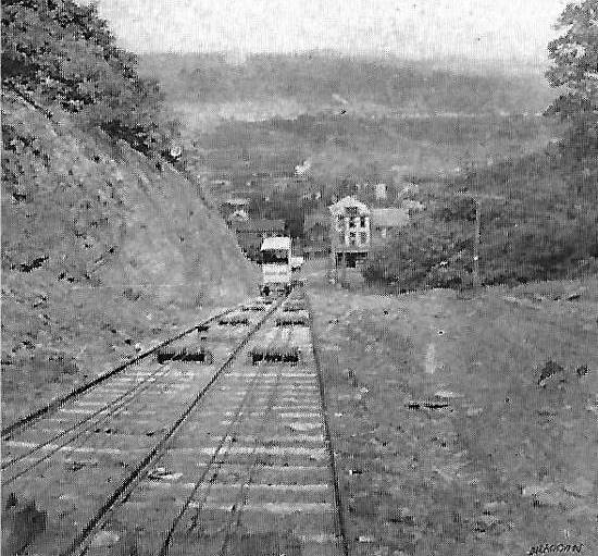
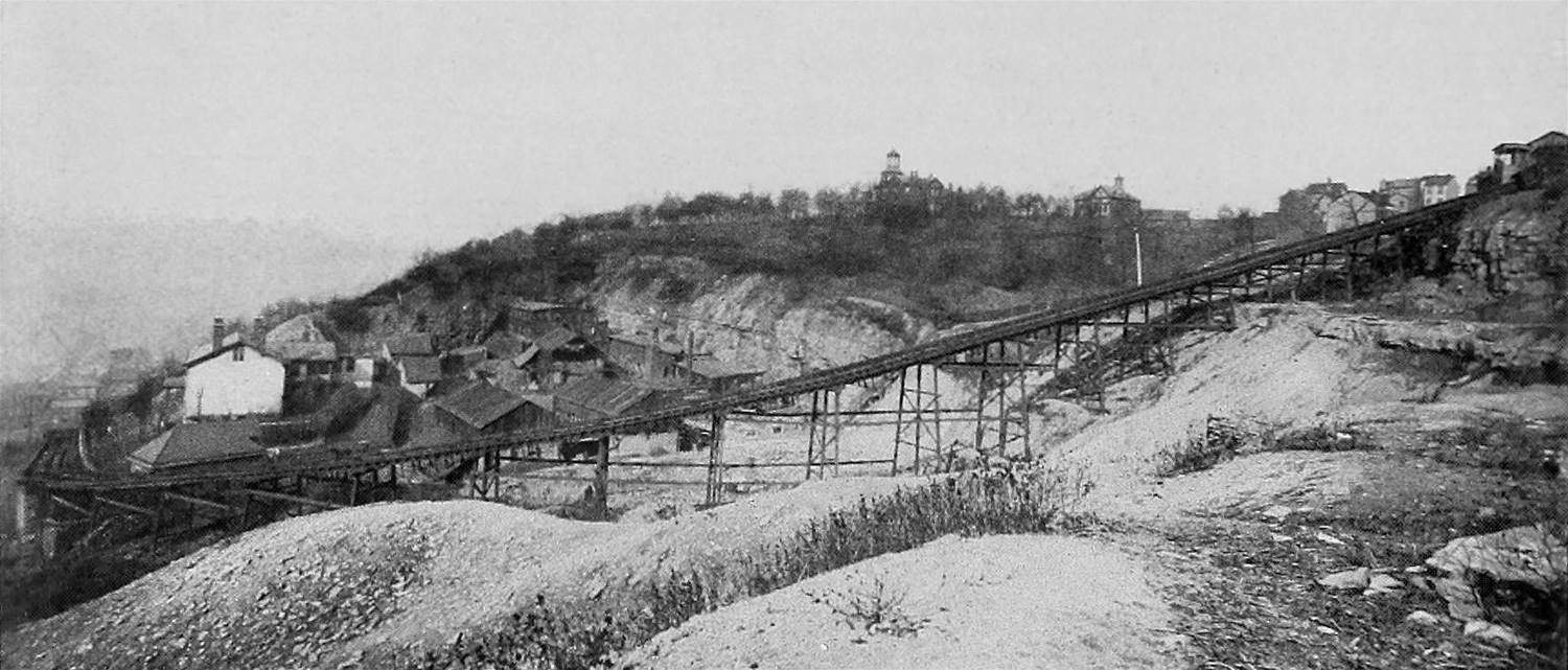
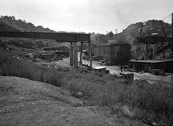
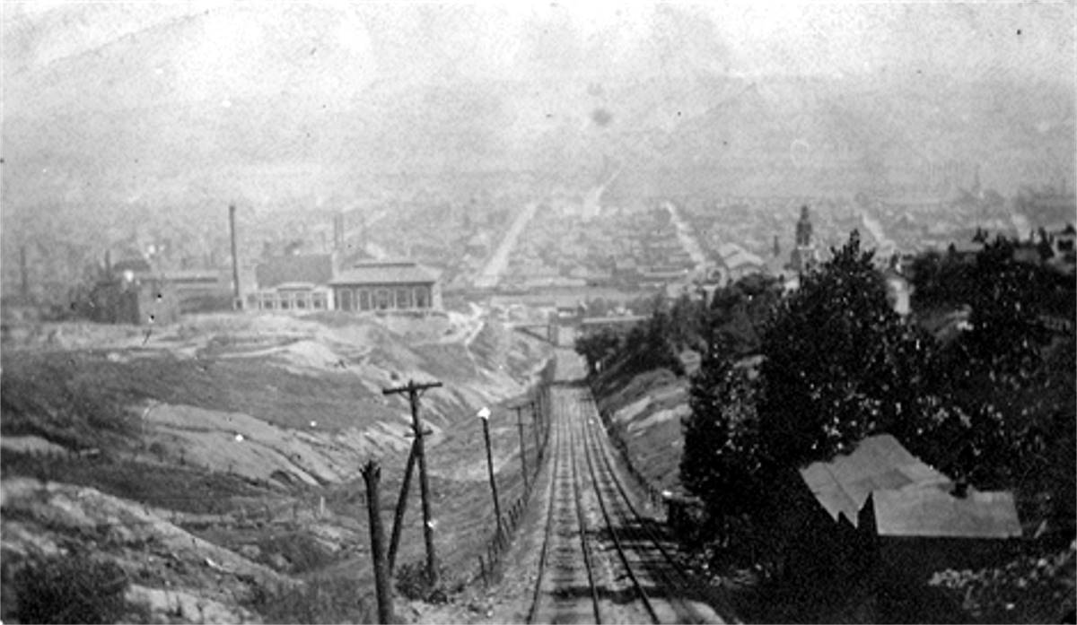
While today there are only two inclines in Pittsburgh still in operation (the Duquesne Incline and the Monongahela Incline), did you know there were once many inclines in operation all throughout the city and even into some of the suburbs of Pittsburgh? Yes. That’s a fact. There were once 24 working inclines in Pittsburgh. Why were they built and who used them, you ask?
Pittsburgh’s First Inclines
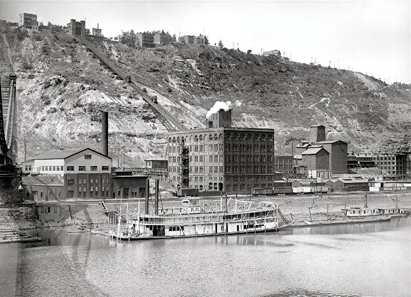
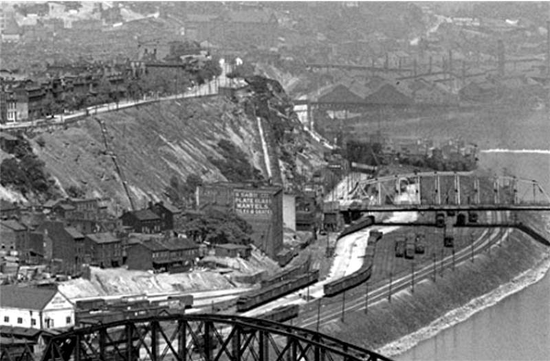
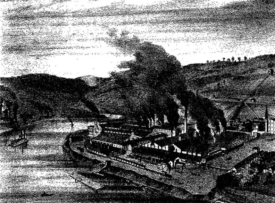
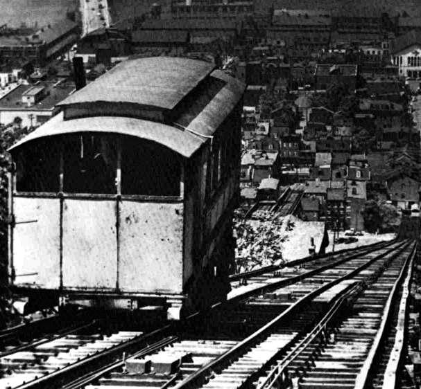
Originally called “furniculars” and “gravity plains”, the first inclines were built primarily to transport coal from Coal Hill, or, as we know it today, Mt. Washington, down to the factories along the Monongahela River on the South Side and Carson Street. Later, as Pittsburgh began to grow, more inclines were built and they were used to transport livestock, building materials and people traveling to and from work. By the early 20th century, some of the inclines in Pittsburgh were moving thousands of passengers each day.
As light rail and commuter options increase and Pittsburgh grew in size, the need for alot of the inclines slowly declined. They slowly began closing and by the 1960s most had shut down for good, leaving Pittsburgh with the 2 inclines still in operation today, the Duquesne and Monongahela. Both of these inclines are still used by many locals as transportation, and also attract thousands of tourists a year to and from Mt. Washington to downtown Pittsburgh, the South Side and many other areas of the city.
Pittsburgh Inclines of the Past
Along with the 2 operating inclines in Pittsburgh today, here is a list of all of the known inclines that ran in Pittsburgh history:
Bellevue Incline
In operation from 1887 until 1893, this incline was built by the Bellevue and Davis Island Inclined Plane Company. The lift was near the Bellevue station and the Davis Island Dam. It travelled up the hill, twisting through the Dilworth Ravine all the way to a passenger station on Lincoln Avenue. There are still parts of the stone walls visible at the edge of the Dilworth Ravine.
Castle Shannon Incline
The Castle Shannon Incline was one of the more popular inclines in Pittsburgh used by daily travelers from 1890 to 1964. It was originally steam-powered, but converted to electricity in 1918. It originated on Mt. Washington at Bailey Street, and travelled down (eventually under the McCardle roadway bridge) to East Carson Street very near Arlington Avenue.
Castle Shannon South
This incline ran from 1892 to 1914 down Warrington to Bailey Street, where passengers could transfer to the Castle Shannon Incline and travel down Mt. Washington to East Carson Street.
Clifton Incline
In operation from 1895 to 1905, the Clifton Incline transported passengers from Perry Hilltop to what is now Strauss Street. It actually had 2 cars… one for passengers and another filled with stone for balance.
Clinton Iron Works Coal Incline
This incline transported coal along and down Mt. Washington to Clinton Industries along the Monongahela River. It ran just below Maple Terrace to West Carson Street close to station square in the late 1800s.
Cray & Company Coal Incline
This incline was located on the West End of Pittsburgh running along Saw Mill Run Creek and was in operation through the late 1800s.
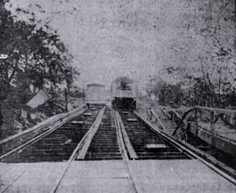
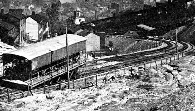
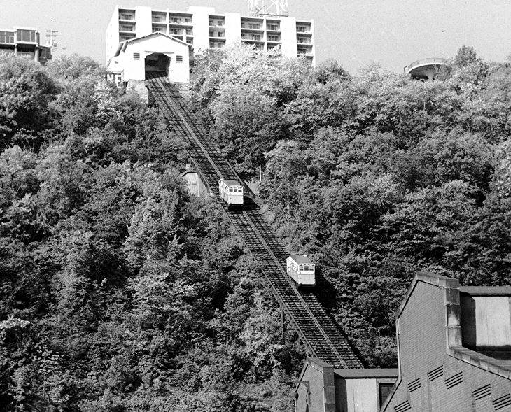
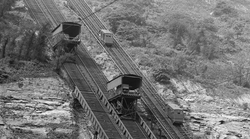
Duquesne Incline
The Duquesne Incline, with it’s iconic red cars, is one of the most recognizable sights in Pittsburgh. Built in 1877 to service passengers from Mt. Washington down to it’s Carson Street station, the original red cars were replace in 1889, and still in use today. The hilltop it serviced was once called Union Borough, and is now Duquesne Heights. Prior to the incline, workers at the mills below would walk a mile long trail down the hillside!
Fort Pitt Incline
The Fort Pitt Incline ran from 1882 to 1906 from the north side of Tenth Street to Bluff Street – what is now Duquesne University. It rose 135 feet and was about 375 long.
Jones & Laughlin Coal Incline
Delivering Coal directly to the American Iron Works of the Jones & Laughlin Company, this incline was in operation on the South Side Slopes in the late 1800s.
Keeling Coal Incline
The Keeling Coal Incline linked mines on the Southside Slopes with the railroads on the flats and was built in 1870. Located between the Knoxville and Mt. Oliver inclines, it operating hauling coal until 1928.
Kirk/Lewis Coal Incline
Operating from 1854 through 1870, the Kirk/Lewis Coal Inclined moved coal directly from the entrance to a mine on Coal Hill (Mt. Washington) near the present sight of the Duquesne Incline. The coal was transported down to the many factories and mills along the Ohio River.
Knoxville Incline
In operation from 1890 through 1960, the Knoxville Incline (or Pittsburgh Incline Plane) It rose 375 feet and ran for almost 1/2 mile to the upper loading station on Warrington Avenue. The cars were designed for freight and street cars, as well as passengers.
Kund & Eiben Incline (Hoist)
This is a little-known incline, built in 1915 and located along Saw Mill Run in Bon Air. It transported freight back and forth for the Pennsylvania and West Virginia Railroad. When Saw Mill Run Blvd. was contructed, this incline was abandoned in 1929.
Monongahela Incline
The first passenger incline in Pittsburgh, the Monongahela incline was built in 1870 and is still in operation today. It was also originally steam powered. Travelling 642 feet from it’s top on Mt. Washington down to Station Square, it is the steepest and oldest operating incline in the United States today.
Monongahela Freight Incline
The success of the original Mon Passenger Incline (see above) helped to spur growth on Mt. Washington such that the original operator saw the demand to move more goods up and down the hill and built the Monongahela Freight Incline in 1884. In use until 1935, the inclined closed when demand for moving freight up and down the mountain fell.
Ormsby Mine Gravity Plane
A narrow gauge railroad running along 21st Streeet on the South Side connected the Ormsby Mine incline to the Jones & Laughlin Steel Mills. The incline was in operation until about 1878.
Pittsburgh & Castle Shannon Plane
Built in 1864 and in operation until 1912, the Pittsburgh & Castle Shannon Plane was used to haul coal mined in the South Hills of Pittsburgh to the factories along the Monongahela River.
Mt. Oliver Incline
The Mt. Oliver incline was in operation from 1872 to 1951 and also originated on Warrington Avenue, near the Knoxville Incline, travelling from a height of 377 feet down to the Freyburg Street station.
Norwood Incline
From 1901 to 1923 the Norwood Incline transported passengers from Island Avenue to Norwood Place in McKees Rocks. It was nicknamed the “Penny Incline” because the fair was only 1 cent.
Nunnery Hill Incline
The first incline in Pittsburgh with a curved track, the Nunnery Hill Incline travelled almost 1000 feet from Federal Street on the North Side to Catomea Street near Meadville Street. It was built for passengers, and each car carried 24. It was in operation from 1887 to 1899.
Penn Incline
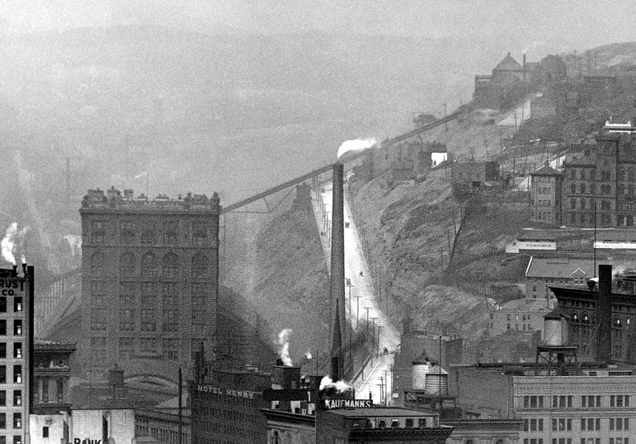
This incline was at one time the longest incline plane in the world. Operating from it’s base on Liberty Avenue near 17th Street in the Strip District, it ran over the Pennsylvania Railroad and Bigelow Blvd. up to it’s station on Ledie in the Hill District. It was 840 feet long, and rose 330 feet. There was a saloon and entertainment center at the top, called the Penn Incline Resort, for 8 years. It was destroyed by fire. This historic Pittsburgh Incline ran from 1884 until it was finally abandoned due to falling use in 1953.
Ridgewood Incline
Opened in December of 1886 in the Perry South neighborhood of Pittsburgh (on the North Side) this income was only open for about 1 year, as it was destroyed by a fire in 1887. The upper station was on the corner of Ridgewood and Yale streets, travelling down to what is now North Charles Street.
St. Clair Incline
Built in 1886, the St. Clair incline ran on solid ground from it’s origination on Josephine Street on the South Side up to the bluff at St. Clair village. Used for both freight and passengers, at over 2000 feet long, this incline in Pittsburgh was in operation until 1935.
Troy Hill Incline
The Mount Troy, or Troy Hill Incline was built in 1887 and started at the end of the Thirtieth Street Bridge, travelling 370 feet up Troy Hill. It carried both freight and passengers and was in operation until 1898.
Into the future of Pittsburgh Inclines…
The industrial revolution brought the railways and steel mills to Pittsburgh, and for a time, inclines were part of everyday Pittsburgh life. Now, the remaining inclines in Pittsburgh are a fascinating part of the lore and history of the Steel City. Perhaps, in time… some more can be built. Modern-day inclines for a modern-day city?
Pretty comprehensive look at the importance of Pittsburgh’s inclines in the past, Jim! Most people aren’t aware that there were so many.
Such an Incredible History.