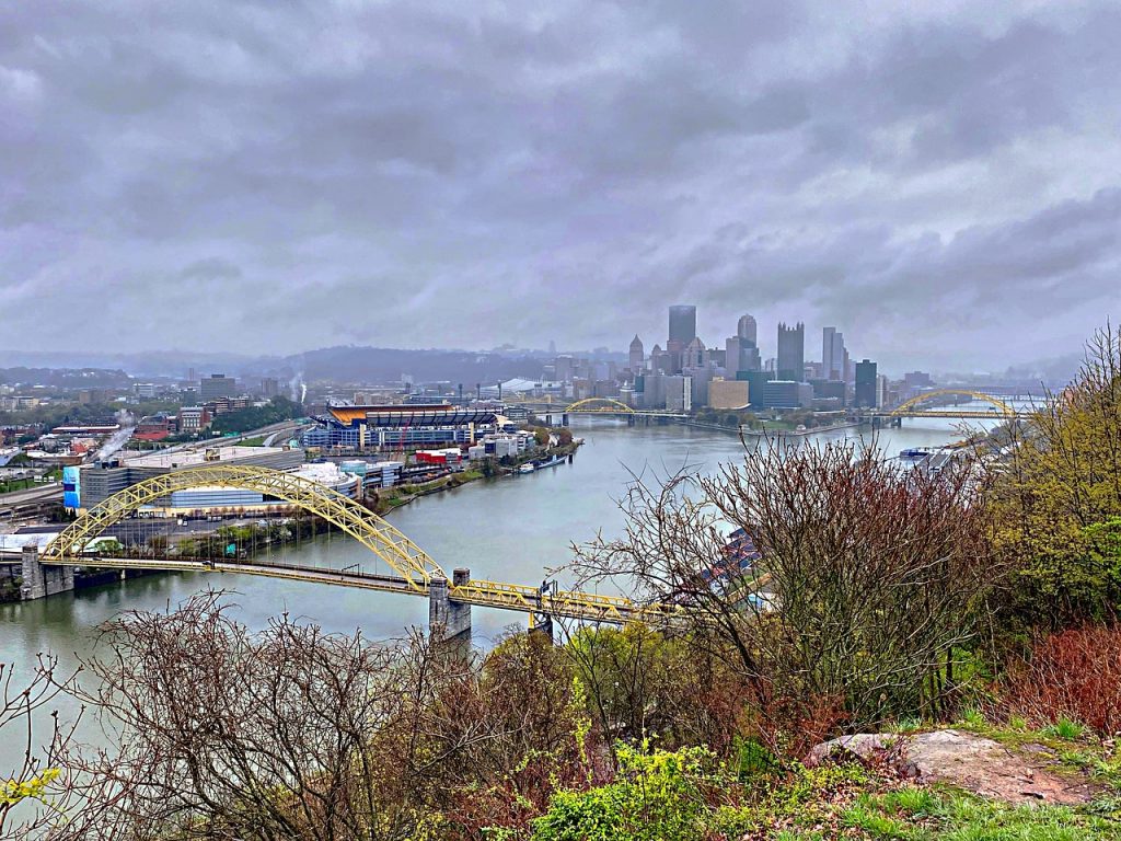
Pittsburgh’s history is intertwined with the mighty rivers that flow through its heart, shaping both its landscape and its challenges. The city has faced numerous floods over the years, each leaving an indelible mark on its streets and the lives of its residents. These historic floods have not only tested the resilience of Pittsburgh’s infrastructure but also the spirit of its people.
From the devastating St. Patrick’s Day Flood of 1936 to the more recent events of 1996 and 2004, Pittsburgh has weathered significant flooding pittsburgh incidents. These events have led to major changes in flood control measures and urban planning. These are the most significant Pittsburgh flood events, their impact on the city’s downtown and surrounding areas, and how they’ve influenced the ongoing efforts to protect the Steel City from future high waters.
The Great St. Patrick’s Day Flood of 1936

The Great St. Patrick’s Day Flood of 1936 stands as the most devastating flood in Pittsburgh’s history, leaving an indelible mark on the city’s landscape and its people. This catastrophic event reshaped the city’s approach to flood control and urban planning.
St. Patrick’s Day Flood Causes
The flood resulted from a perfect storm of environmental factors. A cold and snowy winter was followed by unusually warm temperatures and torrential rain in mid-March. This combination led to rapid melting of snow and ice in the upper Allegheny and Monongahela Rivers. On March 16, 1936, the rivers and their tributaries began overflowing their banks, threatening Pittsburgh. By St. Patrick’s Day, the waters reached the flood stage of 25 feet.
St. Patrick’s Day Flood Impact
The impact of the flood was severe and far-reaching. Water levels rose at an alarming rate of one foot per hour on March 18. By 9:00 PM that day, the rivers crested at a staggering 46 feet, far exceeding initial predictions of 33 feet. The Golden Triangle was submerged, with water reaching the second stories of prominent buildings like the Jenkins Arcade, Horne’s Department Store, and the Roosevelt Hotel. Penn Avenue trolley cars disappeared beneath the floodwaters, visible only by their rooflines.
St. Patrick’s Day Flood Aftermath
The aftermath of the flood was devastating. Property damage throughout the Pittsburgh district was estimated at $250 million (equivalent to billions in today’s currency). Tens of thousands of residents were displaced, with 50,000 seeking shelter in Red Cross facilities. The flood put over 60,000 steelworkers out of work as mills were inundated. Recovery efforts were monumental, involving police, firefighters, public works employees, Red Cross volunteers, WPA workers, Boy Scouts, National Guardsmen, and countless citizens.
The Pittsburgh Flood of 1907

1907 Flood Overview
In March 1907, Pittsburgh faced a devastating flood that would leave an indelible mark on its history. The city’s three rivers – Ohio, Allegheny, and Monongahela – swelled to epic proportions due to a combination of snowmelt and heavy rainfall. This natural disaster caught many residents off guard, with waters rising rapidly in the early hours of March 14th.
The Pittsburgh Press reported that within just five hours, hundreds of homes were submerged up to their second floors. The north side of Allegheny, where many residents lived, was described as being “like Venice,” with streets transformed into waterways. The sudden onset of the flood left many angry at the lack of warning, as they scrambled to evacuate their homes and businesses.
1907 Flood Damage
The flood’s impact on Pittsburgh was severe and far-reaching. Initial estimates put the damage at a staggering $20 million, though later assessments revised this figure to approximately $5 million – still a substantial sum for the time. The flood affected numerous neighborhoods, with Allegheny described as being in a “sorry plight.”
The human toll was equally devastating. Reports from the Pittsburgh Press detailed a growing list of casualties. By March 14th, at least 12 deaths had been confirmed, including children and several unnamed individuals. As communication lines were restored in the following days, the death toll continued to rise, with 15 more fatalities reported by March 16th.
1907 Flood Recovery
Despite the extensive damage, Pittsburgh demonstrated remarkable resilience in the face of this disaster. The floodwaters receded within 24 hours, allowing recovery efforts to begin promptly. By March 16th, just two days after the peak of the flood, businesses had started to resume operations, and street cleaning efforts were underway.
The city’s recovery process involved a collective effort from various sectors of society. As telephone lines were repaired, more detailed accounts of the destruction emerged, helping to coordinate relief efforts more effectively. While the flood left significant scars on Pittsburgh’s landscape, it also served as a catalyst for improved flood control measures and urban planning in the years that followed.
The 1964 Pittsburgh Flood

On March 11, 1964, Pittsburgh experienced a devastating flood that left a lasting impact on the city and its residents. This event, known as the Great Pittsburgh Flood of 1964, resulted from a combination of factors that led to widespread flooding in Western Pennsylvania and along the Ohio River basin.
1964 Flood Causes
The primary cause of the 1964 flood was record-breaking rainfall that hit the region. This heavy precipitation, combined with existing water levels, led to a rapid rise in the rivers surrounding Pittsburgh. The Allegheny River crested at an alarming 31’6″ in the Pittsburgh region, making it the worst flood to hit the area since Hurricane Hazel in 1954, which saw the rivers peak at 32’4″.
1964 Flood Extent
The flood’s impact was widespread and severe:
- Point State Park was completely inundated with floodwaters.
- The Ohio River crested at a staggering 47 feet.
- Areas hit hard included the Point and the lower North Side along River Avenue to Federal Street.
- Several businesses were forced to move merchandise to higher levels.
- The Heinz factory had to close for three days.
- Multiple boats sank downstream from the West End Bridge.
- Approximately 300 people statewide were forced to evacuate their homes.
1964 Flood Response
The severity of the flood prompted a significant response from both state and federal authorities:
- President Lyndon Johnson conducted aerial surveys of the damage from his private jet.
- Governor William Scranton declared a state of emergency.
- Pittsburgh was designated a disaster area.
The flood’s impact highlighted the need for better flood control measures. As a result, the Kinzua flood control reservoirs on the upper Allegheny River were completed in 1965, helping to mitigate the annual flood threat that Pittsburgh had faced for years.
The 1996 Flood

1996 Flood Triggers
The 1996 flood in Pittsburgh was the result of a perfect storm of weather conditions. During the second week of January, the city experienced a blizzard-like snowstorm, followed by an unexpected winter thaw and heavy rains. This combination set the stage for severe flooding in the Pittsburgh area. The flood was part of a larger event affecting the northeastern United States, caused by an unusually intense rainfall and rapid snowmelt on January 18-19, 1996.
The stage for this catastrophic event was set in the preceding months. From November 1995, the region experienced above-normal snowfall and below-normal temperatures. By mid-January, a significant snowpack had accumulated throughout the basin, containing a water equivalent of 3.5 to over 5 inches. This deep snowpack, combined with the formation of ice on rivers due to prolonged freezing temperatures, played a crucial role in the flooding that followed.
1996 Flood Effects
On Friday, January 19, 1996, Pittsburgh witnessed a dramatic rise in water levels. The Allegheny and Monongahela Rivers crested within five hours of each other, with waters at Point State Park rapidly rising to 34.6 feet, over 10 feet above flood stage. The impact was severe and widespread:
- The downtown section of the Parkway was completely inundated.
- Houseboats and barges flowed freely down the river, crashing into bridges and landing on top of parked cars.
- Water covered Point State Park entirely, as well as most of the Three Rivers Stadium parking lot.
- The combination of water and ice (temperatures hovered near 0 degrees) caused severe damage to the downtown riverfront area.
1996 Flood Damage
The flood left a trail of destruction in its wake:
- The downtown area was littered with ice chunks, mud, river debris, trees, toppled light poles, cars, trucks, and boats loosened from their upstream moorings.
- Point State Park suffered major damage to its fountain, operating mechanisms, light poles, benches, maintenance equipment, lawn, shrubs, and trees.
- The moat wall from old Fort Pitt and its adjacent museum were severely damaged.
- The flood forced the closure of downtown Pittsburgh for most of the following day.
While the exact damage figures for Pittsburgh are not provided, the overall impact of the 1996 flood was substantial. Across the northeastern United States, total flood-related damages were estimated to exceed $1.5 billion. The event highlighted the need for improved flood control measures and urban planning to mitigate future risks.
Flood Control Measures and Future Preparedness

Flood Control Infrastructure
The Pittsburgh District of the U.S. Army Corps of Engineers plays a crucial role in managing flood risks in the region. Since 1938, the district has constructed 16 reservoirs designed to hold back water and mitigate the impact of catastrophic floods. These reservoirs have prevented more than $14 billion in flood damages to homes, businesses, and infrastructure. During high-water events, these reservoirs strategically release water to limit flooding downstream, demonstrating their effectiveness in protecting the city and surrounding areas.
Flood Warning Systems
The National Weather Service (NWS) maintains a vigilant watch over rivers throughout the country through its River and Flood Program. The NWS issues timely watches and warnings to protect life and property when flooding threatens. Their 13 regional River Forecast Centers prepare detailed hydrologic forecasts, including the time and height of flood crests, when rivers are expected to exceed flood stage, and when they will return to normal levels. These forecasts rely on data from various sources, including ground sensors operated by major NWS cooperators such as the U.S. Army Corps of Engineers, U.S. Geological Survey, and other federal agencies.
Community Preparedness
Community preparedness is essential in mitigating flood risks. The Pittsburgh Water and Sewer Authority (PWSA) is addressing the city’s stormwater management system to create flood-prepared neighborhoods. Their goal is to better manage stormwater to prevent sewer overflows, basement backups, and road flooding during heavy rains.
Residents and property owners are encouraged to take proactive measures to protect their homes and belongings from flooding. The PWSA offers free Flood Education Webinar Series to educate the public about flood causes, preparation methods, and recovery strategies.
Key safety tips include:
- Avoiding driving or walking through floodwaters, as even 6 inches of fast-moving water can be dangerous.
- Creating emergency plans for families and businesses.
- Moving valuable items to higher ground during flood threats.
- Staying informed through NOAA Weather Radio, commercial radio, or television for flood-related information.
By implementing these measures and fostering community awareness, Pittsburgh aims to enhance its resilience against future flood events and safeguard its residents and infrastructure.
Pittsburgh’s history of flooding has shaped the city’s resilience and approach to urban planning. From the devastating St. Patrick’s Day Flood of 1936 to more recent events, each flood has had an impact on the city’s infrastructure and its people. These events have prompted significant changes in flood control measures, including the construction of reservoirs and the implementation of advanced warning systems.
Looking ahead, Pittsburgh continues to enhance its preparedness for future flood events. The city’s ongoing efforts to improve stormwater management and educate residents about flood risks demonstrate its commitment to creating a safer urban environment. As Pittsburgh moves forward, the lessons learned from past floods will undoubtedly play a key role in shaping the city’s approach to dealing with the ever-present threat of rising waters.
FAQs
1. What is known as the most severe flood in the history of Pittsburgh?
The most catastrophic flood in Pittsburgh’s history took place in March 1936. This event was triggered by a combination of melting snow and two days of continuous rain, which caused the rivers and streams in the Allegheny Watershed to overflow. The river levels at the Point surpassed the flood stage of 25 feet between 8:00 and 9:00 AM on St. Patrick’s Day.
2. Has the downtown area of Pittsburgh experienced flooding?
Yes, the downtown area of Pittsburgh has been prone to flooding due to its location near major rivers. Historical records and photographs, such as those in the Detre Library & Archives, document several significant floods that have impacted the city and its surrounding communities in years including 1883, 1907, 1936, and 1964.
3. Can you describe the 1964 flood in Pittsburgh?
During the 1964 flood, the Allegheny River reached a peak of 31.64 feet in the Pittsburgh area. This flood was the most severe since the 1954 flood caused by Hurricane Hazel, during which the rivers crested at 32.4 feet.
4. What was the worst flood recorded in history?
The answer to this question was not provided in the original input. Please refer to other sources for detailed information on the worst flood in recorded history.